Mountains, Mosques, and Neighborhoods — Ha’il
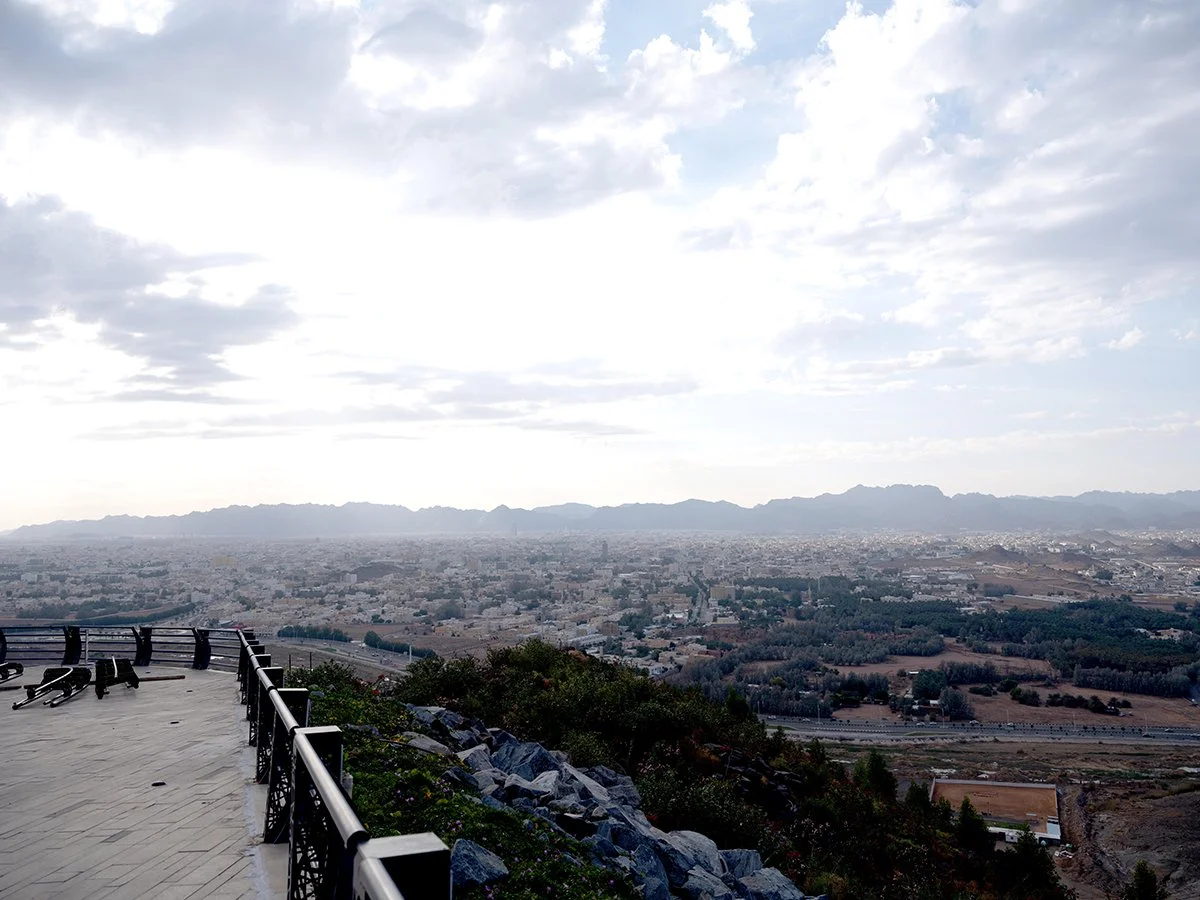
This photographic exploration of Ha’il begins with the landscape that defines the city—its mountains and elevated viewpoints. The series opens with Ha’il Mountain, the commanding presence of Samrah Mountain, and the Hatim Observatory overlooking the urban fabric. Samrah Mountain, in particular, carries both visual and cultural resonance: its volcanic terrain rises gently above the city, offering sweeping panoramic views where desert, settlement, and sky merge into a single horizon. Associated with the legendary figure Hatim Al-Tai, whose generosity became synonymous with Ha’il, the mountain is more than a natural landmark—it is a cultural landscape that embodies memory, hospitality, and identity. From its slopes, the city appears layered and compact, revealing how Ha’il developed in dialogue with its surrounding terrain.
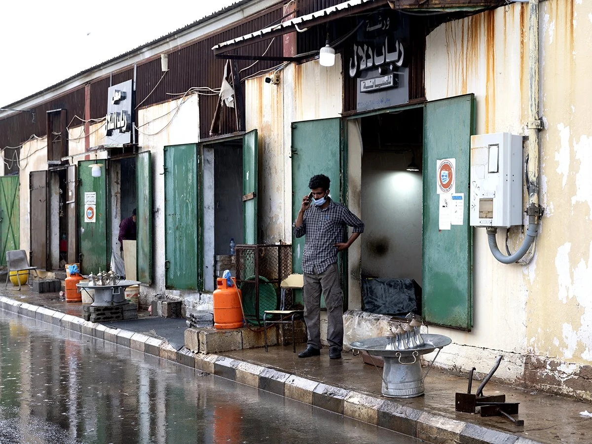
The series is structured in two parts—buildings and neighborhoods—captured using my professional digital medium-format Fuji GFX 100s. The buildings section documents key landmarks that shape Ha’il’s architectural identity, including Barzan Palace Tower, the Courthouse, the Governorate Building, King Fahd Mosque, and Ouairef Fort —sites that collectively reflect governance, religious life, heritage, and contemporary commercial development. The neighborhoods section shifts to the everyday urban fabric, focusing on areas such as Eastern Montazah alongside older districts like Al-Badiah, Labdah, and Maghidah, as well as the evolving urban spaces around Barzan Souk, including the Zaman Dallah Souk. These neighborhoods reveal Ha’il as a city shaped by settlement history, agricultural landscapes, abandonment, renewal, and gradual modernization—where traditional environments coexist with emerging urban forms.